Satellite Image Processing
Services List
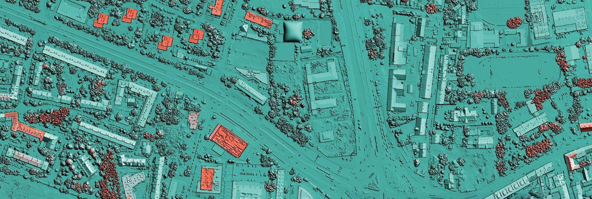
Satellite Image Processing
Satellite Image Processing is a technique which involves manipulation of digital image to extract information. Hagrois delivers a range of services for environmental changes and availability of natural resources. We help you to identify natural resources like climate changes, hydrological resources, change detection analysis, urban sprawl mapping, Terrain analysis, site selection model etc.,
- Preparing Land use Land cover maps (LULC)
- Evaluate damages caused by forest fires and other reasons
- Monitor urban extension
- Monitor the replacement of forested areas with farmland or urban areas
- Identifying missing and existing water bodies
- Map and update maps of elements sensitive to the implementation of new hydroelectric, oil, mining, etc. infrastructures
- Team Hagrois will help you develop crop analysis tools, using satellite images
- Identify crop management areas
- Produce economic yield maps